Houston is an interesting city to explore. I write about it in upcoming book with Locate Press but to truly delve into the full potential of the geospatial story potential would be beyond scope. I want to share a quick video of a portion of the research for the chapter, Urban Planning and Networks.
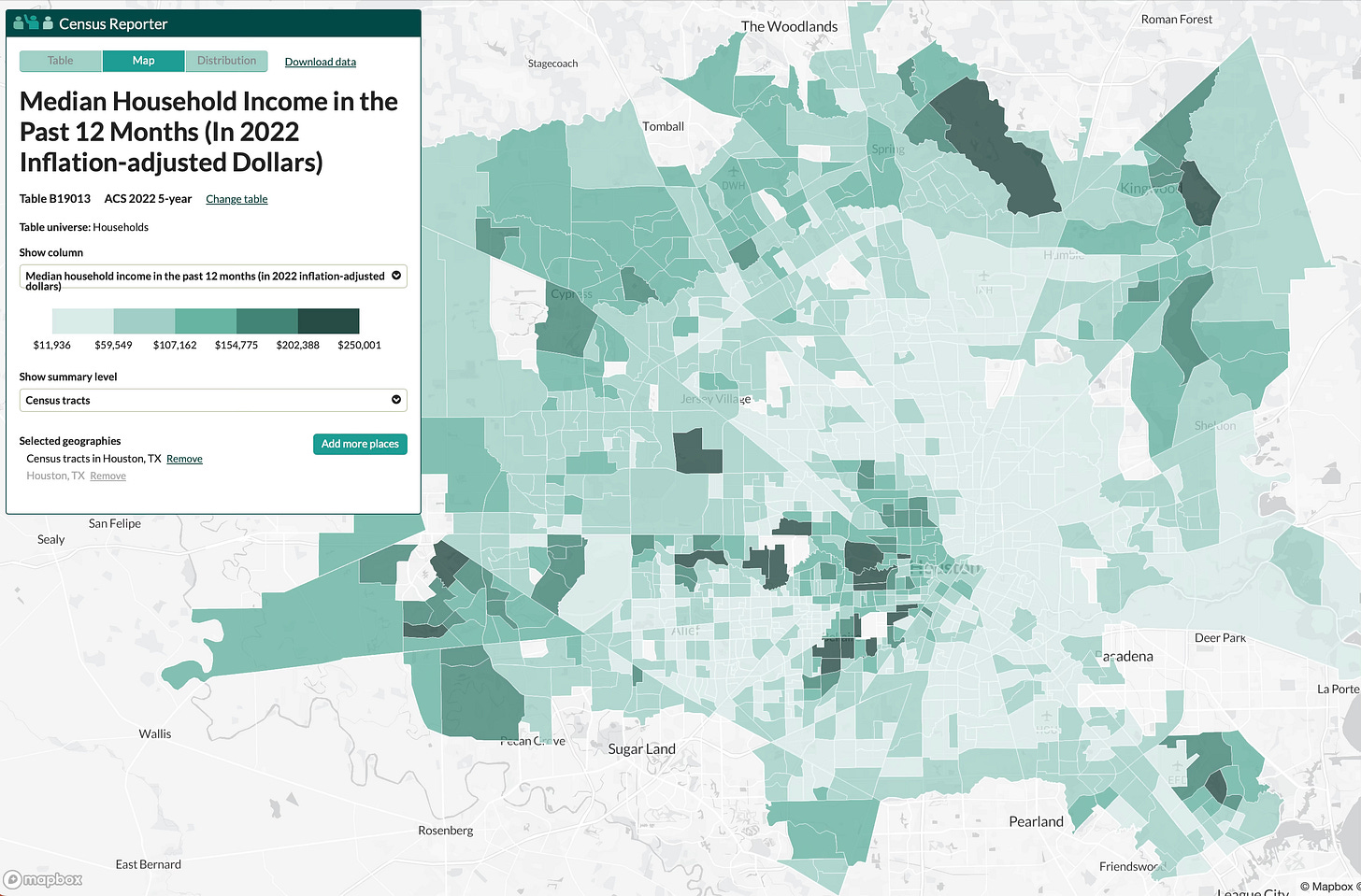
Census Reporter:
https://censusreporter.org/data/map/?table=B19013&geo_ids=16000US4835000,140|16000US4835000&primary_geo_id=16000US4835000
FEMA structures
https://gis-fema.hub.arcgis.com/pages/usa-structures
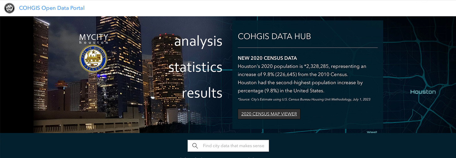
City of Houston GIS Open Data Portal
https://cohgis-mycity.opendata.arcgis.com
Stay tuned for mini tutorials on using these tools…
QGIS
https://www.qgis.org/download/
Video of screen created with QuickTime Player on MacOs and edited in Descript.
More here…





Share this post