Boston is one of those cities. What a special place. Every time I return I seem to be at a different time in my life. Watching a city change as your perspectives evolve is magic.
I like to begin workshops by asking for a definition of a city.
Is it a place? An idea? Or like porn, you know it when you see it.
There are many definitions I love but none better than those gathered in Dean Sudjic’s book, The Language of Cities.
“In material terms, a city can be defined by how close together its people gather to live and work, by its system of government, by its transport infrastructure and by the functioning of its sewers.” — Dean Sudjic
My scheduled talk was about storytelling with geospatial data. My focus is often on the built infrastructure and how it interacts with environment, economics, climate, and social inequity.
Research for me begins not solely with the cultural history and buildings but how those ideas become manifest. You can tell a lot about a city by the architecture yes, but often so much more.
For example, another quote I love, “The cities that succeed are the ones that are rooted in the kind of cultural climate that is creative enough to fill the museums as well as build them.”
The public library I visited nearby to the convention center was beautiful. It contained not only a map room but a Map & Tea Room. Yeah that’s right, I said Map & Tea Room and it was bustling.
The Boston Museum of Fine Art is no exception. I never thought about the civic responsibility of a city to build the cultural appreciation that can flood the halls of museums and libraries all year long (weather permitting).
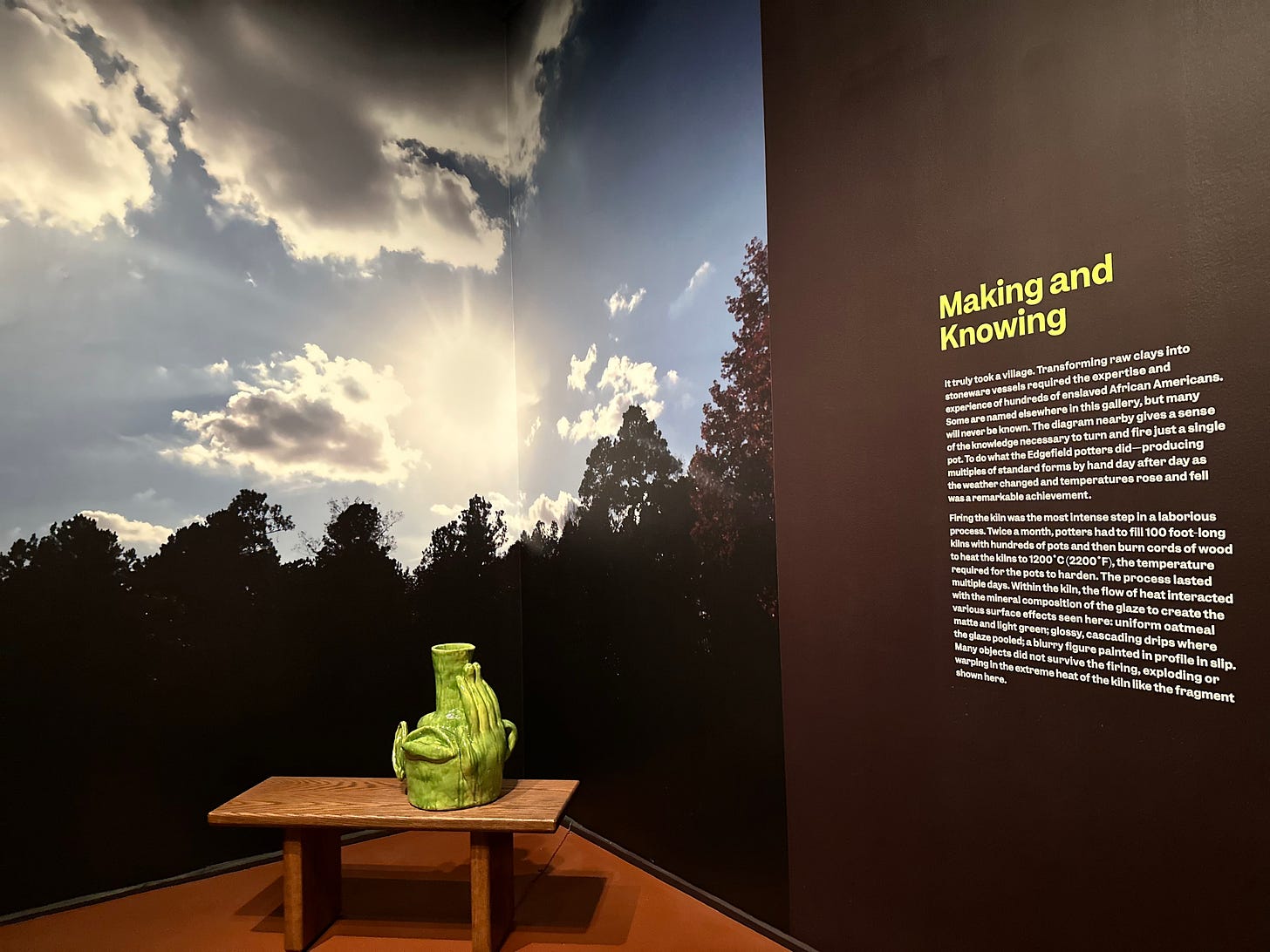
In my talk, we discussed the responsibility of creating narratives around our spatial insights and discoveries. While you create maps or explore terrain you are imbued with knowledge and your own history. It is in the “knowing” that we can add more insights to our geospatial stories.
We explored geospatial perspectives and why location matters. A few take aways from the talk, if I had to distill it into a less cinematic format would be the following:
Instead of focusing on the right medicine, into the right patient, at the right dose, at the right time — why aren’t we asking why so many of us are sick?
Chemical farming (I am talking to you glyphosate) has stripped the nutrients out of our food. Where are we going to get our 9 essential amino acids in the absence of healthy soil?
Exposing a single cell to a toxin generates cancer. Nutrient depletion and toxin exposure reinforces this on a global scale in multicellular humans.
Humanity can not thrive while separated from healthy environments
Geospatial analytics allows the thoughtful exploration of land-use, climate, built infrastructure, and the intersection with economies and social justice.
What stories are you hoping to tell?
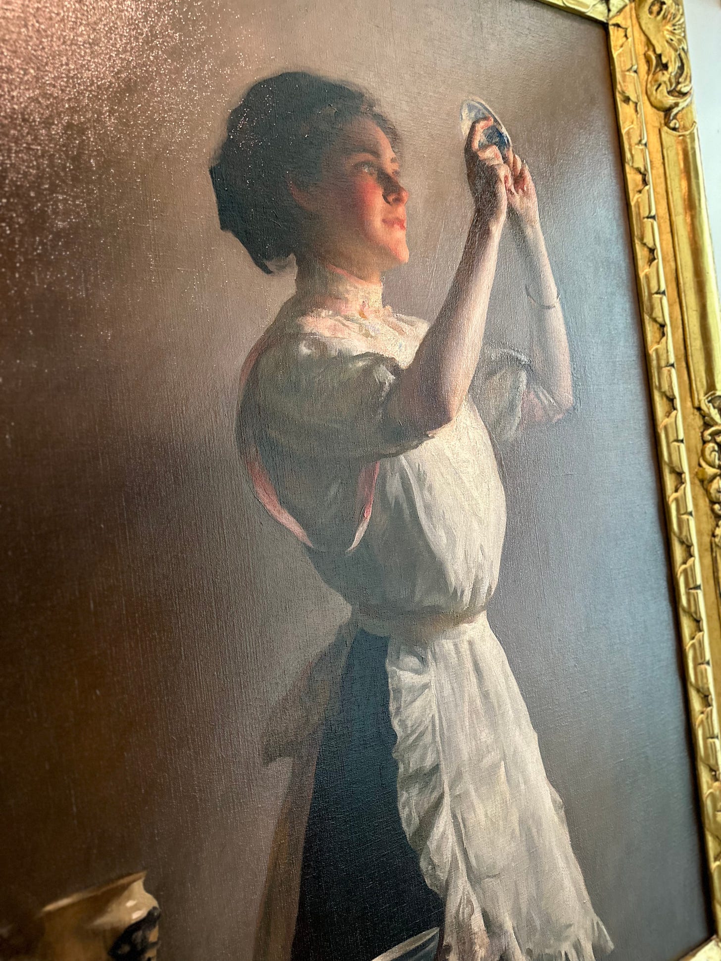
The world’s first selfie lol. The Blue. Cup 1909, Joseph DeCamp, British Museum of Fine Art
Paid subscribers can access the recorded talk. You should see it at the bottom of this post. Founding members may request a copy of the actual presentation.
Keep reading with a 7-day free trial
Subscribe to Open-Source Solutions for Geospatial Analysis to keep reading this post and get 7 days of free access to the full post archives.


